Nautical Charts Virtual Gallery
Browse this Collection by Scrolling Down the Thumbnail Images and Click Upon Any Chart of Particular Interest. See Viewing Tips at the Bottom of the Scroll.
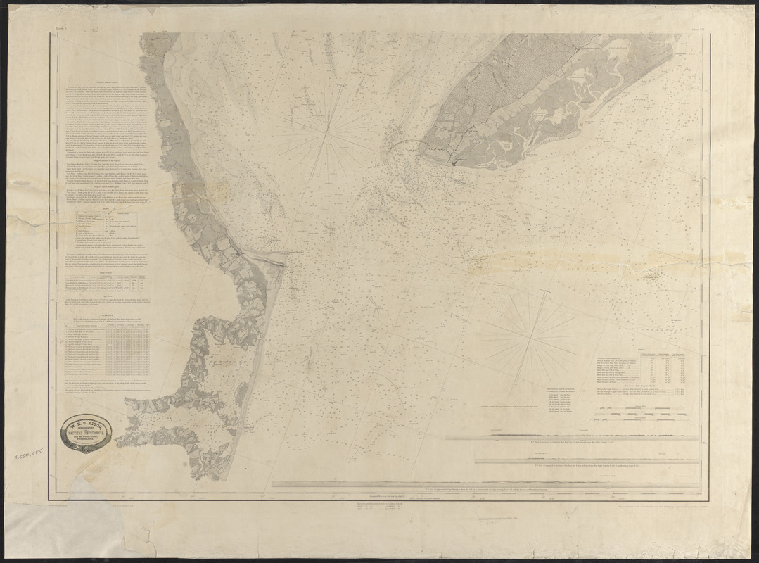
The forty-one charts below comprise the Atwood House & Museum’s Nautical Charts Digital Collection. These represent a subset of the Museum’s physical collection of Nautical Charts, which is more fully described on the Nautical Charts Collection page. Forty of the charts below were restored and digitized during the initial phase of the Chatham Nautical Chart Initiative, with funding from the Town of Chatham through the Chatham Community Preservation Committee.
The digitized chart images are located (with one exception) on the Digital Commonwealth website. These charts were scanned at very high resolution, and the Digital Commonwealth website provides special zoom technology for viewing the charts.
Click any of the thumbnail images below to view the chart page on the Digital Commonwealth website (this will open a separate window in your browser, and the new page is not part of the Atwood House & Museum website).
Click the larger chart image on each dedicated chart page, to open a deep-zoom window. See Viewing Tips at the bottom of this page for information about zooming in on the detail of any chart.
The single exception noted above is the first chart in the list below, as explained in the caption for that chart.
The charts in this digital collection are grouped among ten categories. Click on any category title to jump to that section.
Become a Member
Donate Today
Location & Hours
Location
Atwood Museum
347 Stage Harbor Road
Chatham, MA 02633
508-945-2493
Harbors
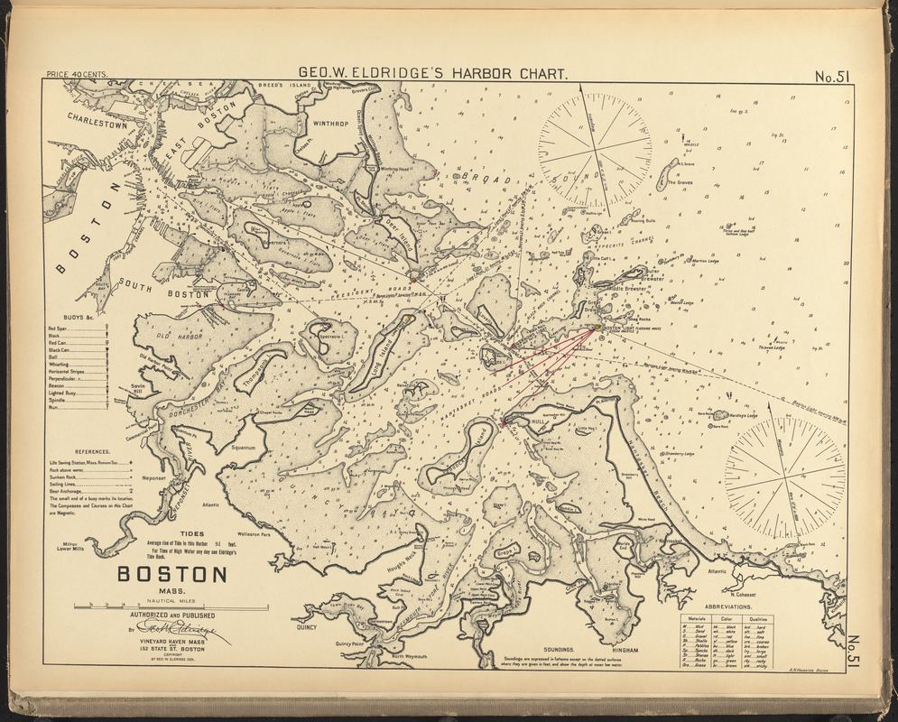
Boston Harbor
George W. Eldridge Collection of Harbor Charts – c 1901
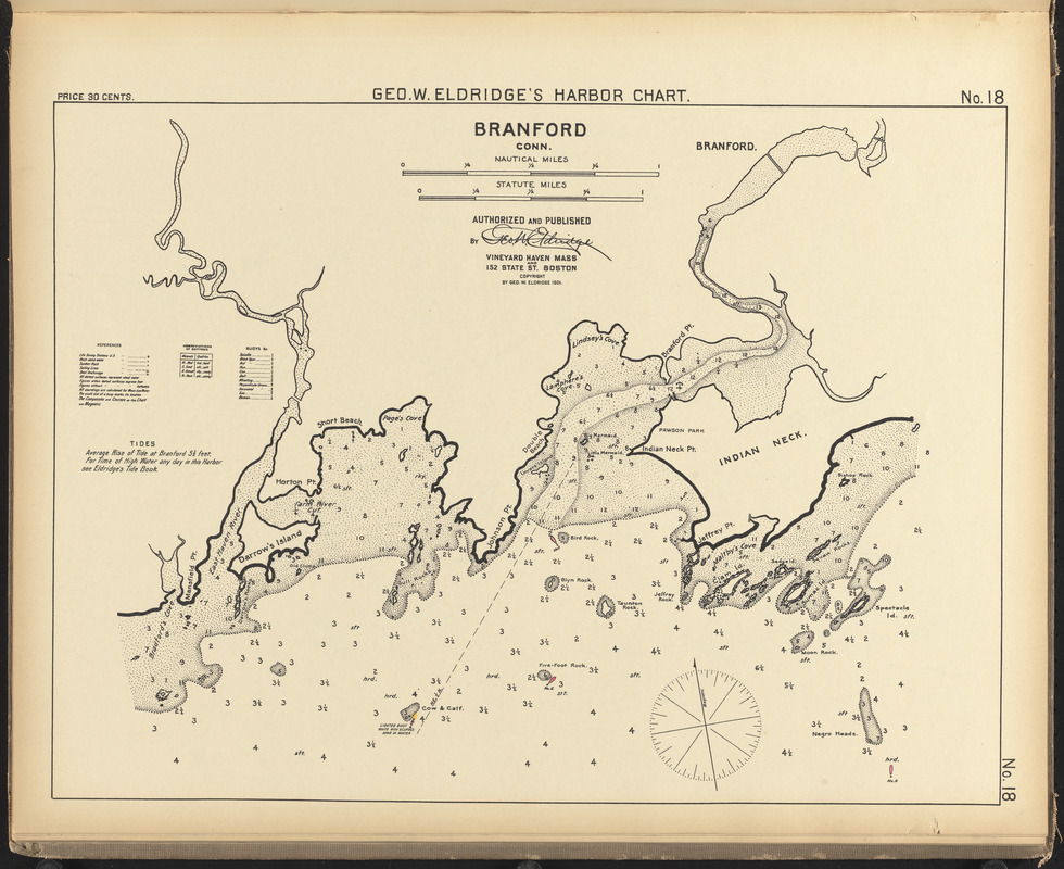
Branford, Conn.
George W. Eldridge Collection of Harbor Charts – c 1901
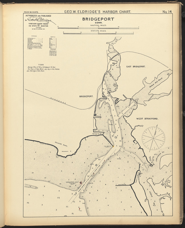
Bridgeport, Conn.
George W. Eldridge Collection of Harbor Charts – c 1901
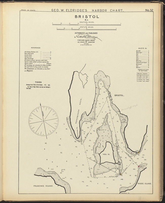
Bristol, R.I
George W. Eldridge Collection of Harbor Charts – c 1901
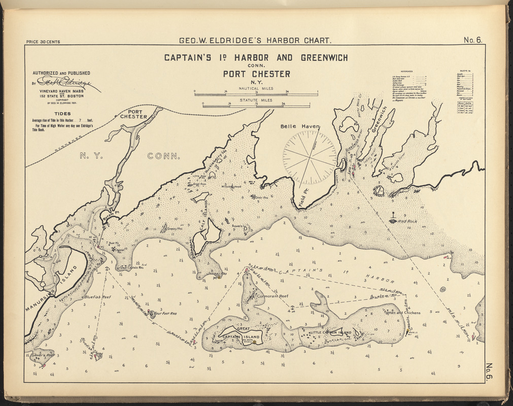
Captain’s Id. Harbor and Greenwich, Conn., Port Chester, N.Y.
George W. Eldridge Collection of Harbor Charts – c 1901
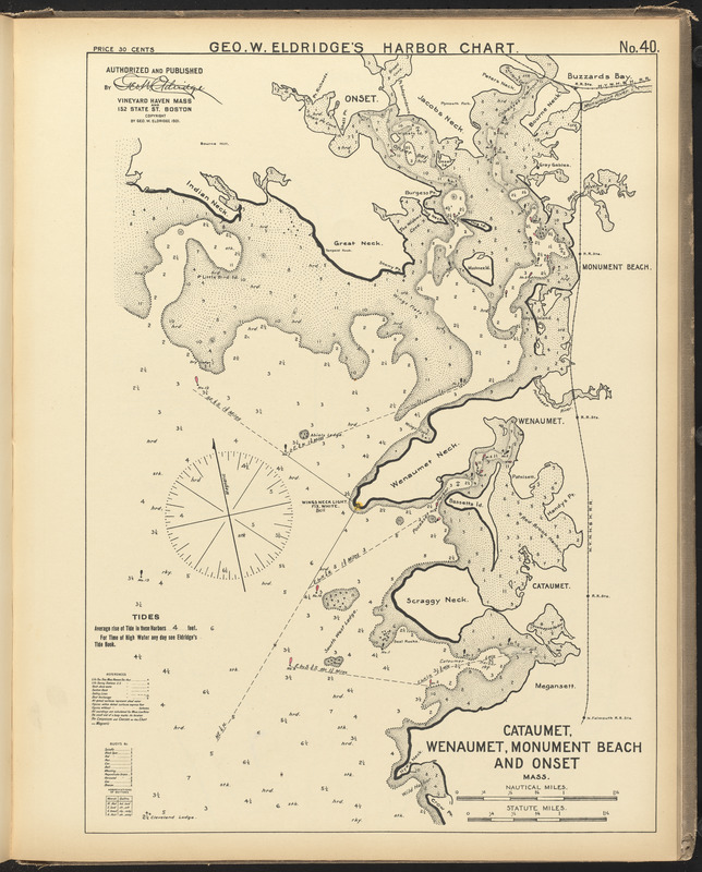
Cataumet, Wenaumet, Monument Beach and Onset, Mass.
George W. Eldridge Collection of Harbor Charts – c 1901
Rivers
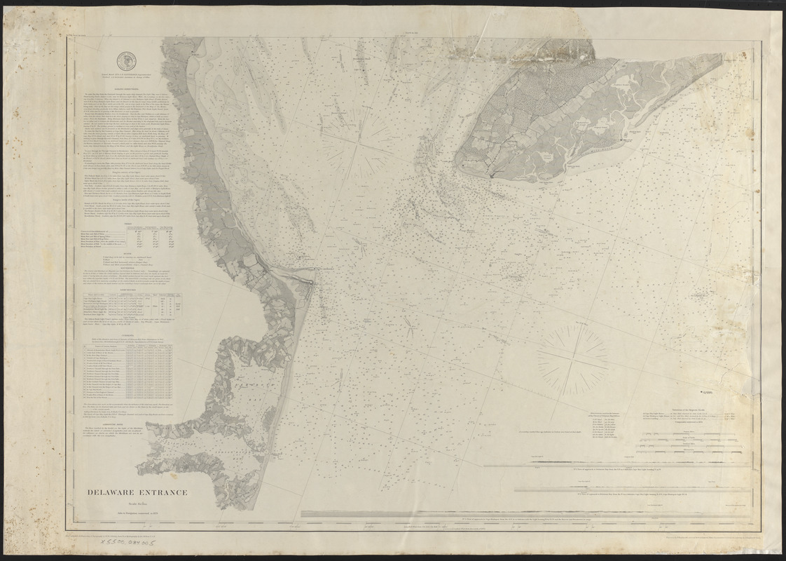
Delaware Entrance
March 1878
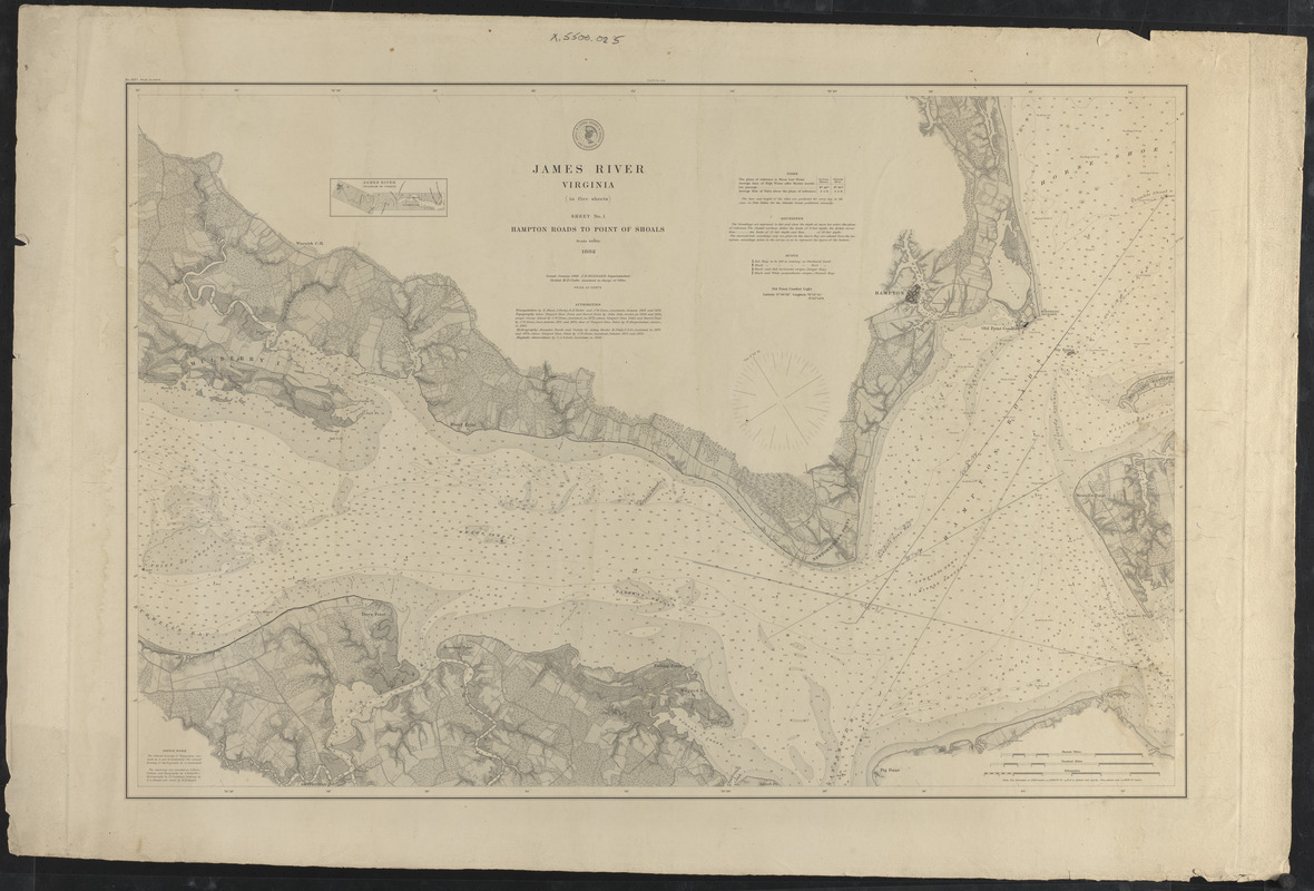
James River, Virginia, sheet no. 1, Hampton Roads to point of shoals
January 1882
Map of Delaware Bay and River
1848
Seas
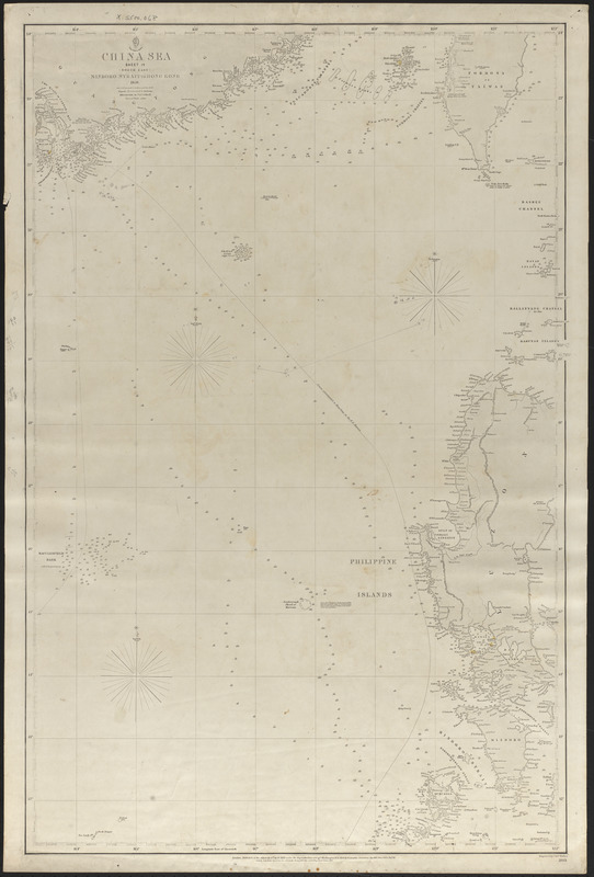
China Sea, Mindoro Strait to Hong Kong
1865
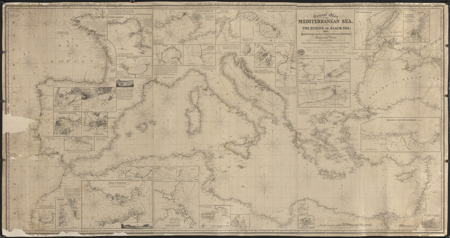
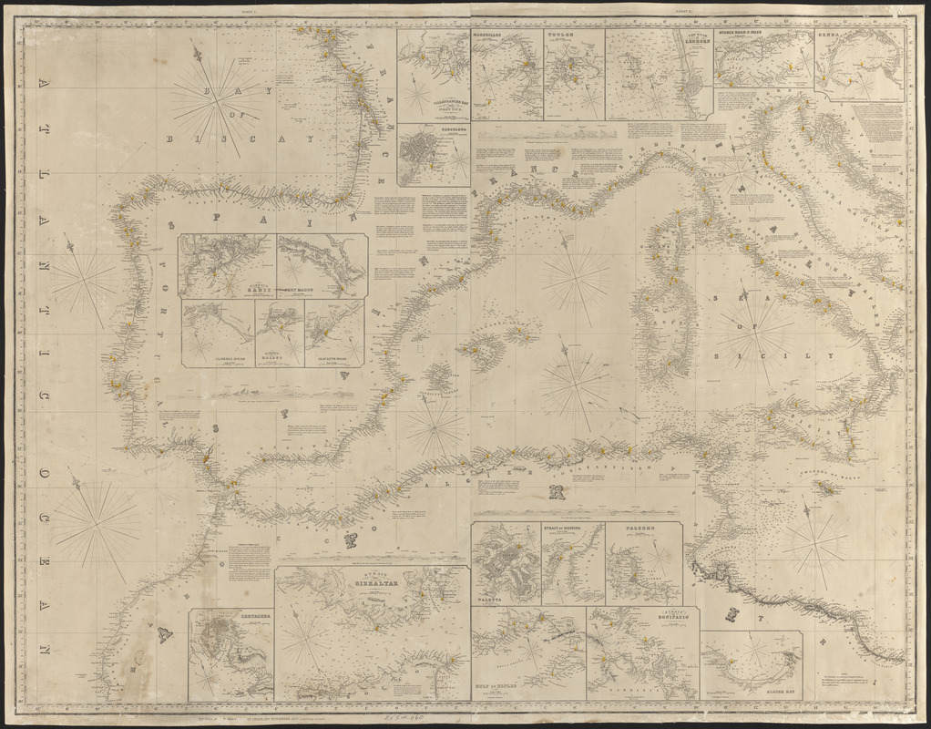
General chart of the Mediterranean Sea and a portion of the Euxine or Black Sea with particular plans of the principal harbors
1852
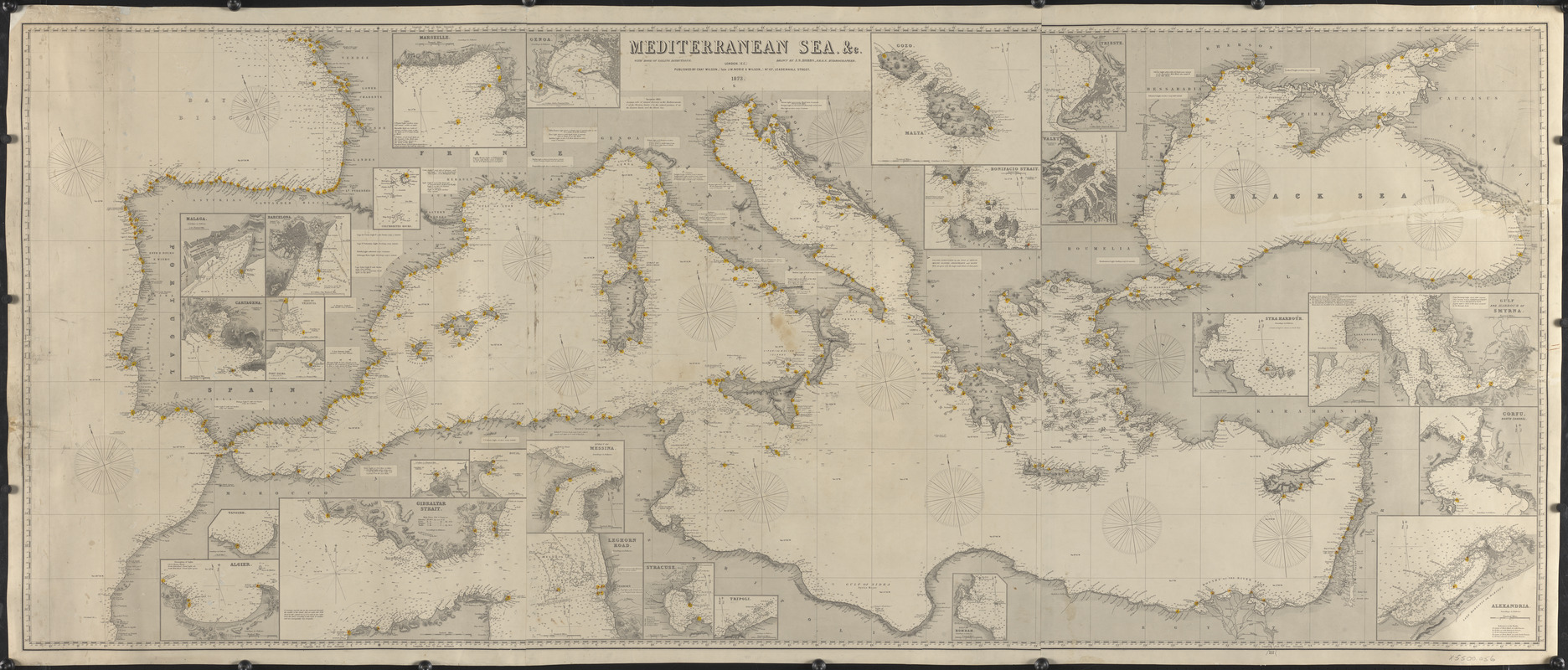
Mediterranean Sea, &c.
1873
Mediterranean Sea, part I
1856
Coastlines
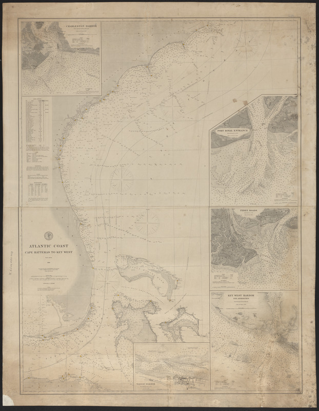
Atlantic Coast, Cape Hatteras
to Key West
December 1880
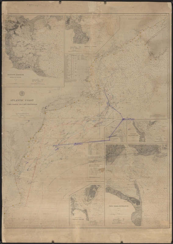
Atlantic Coast, Cape Sable
to Cape Hatteras
October 1877
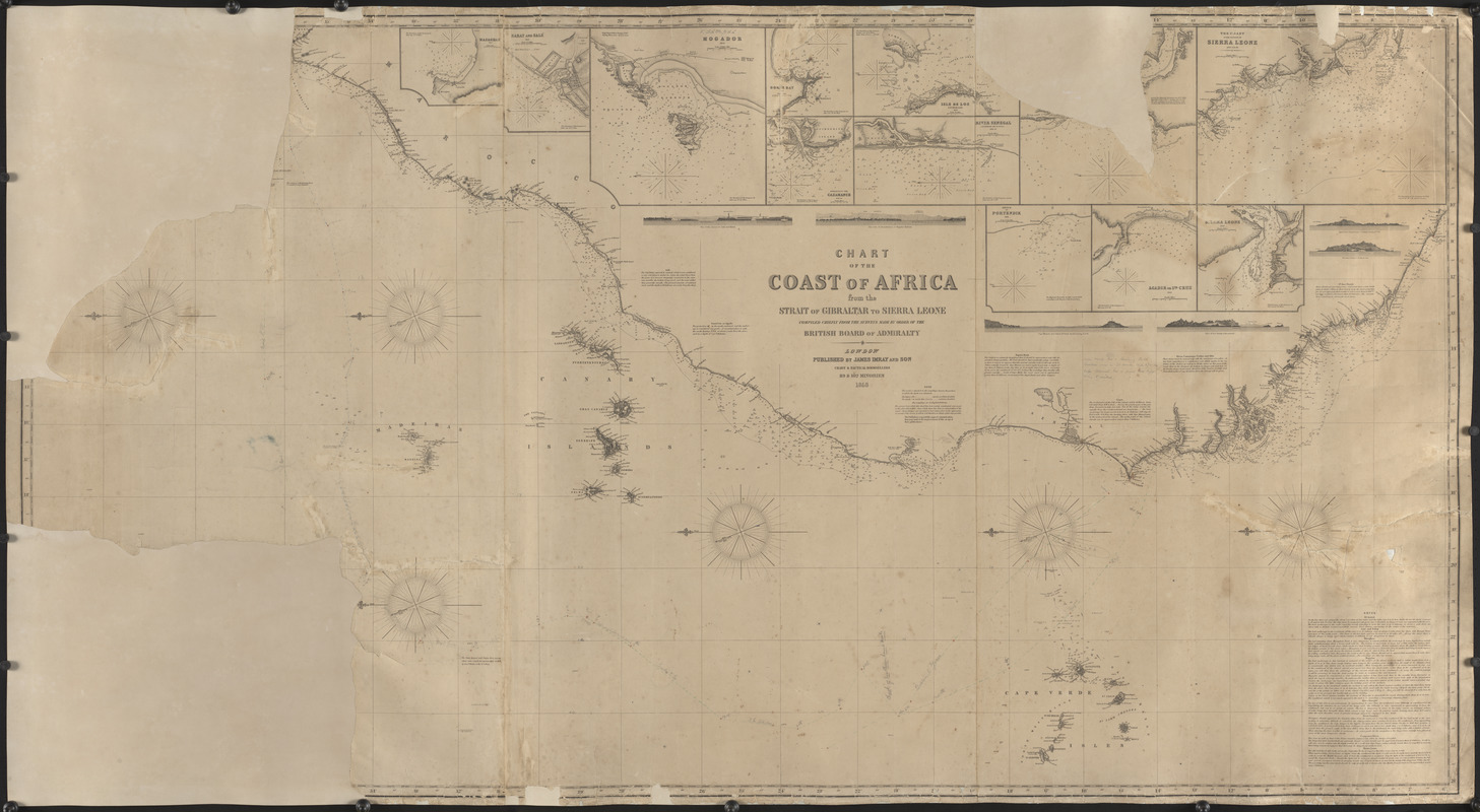
Chart of the coast of Africa from the Strait of Gibraltar to Sierra Leone
1958
Channels
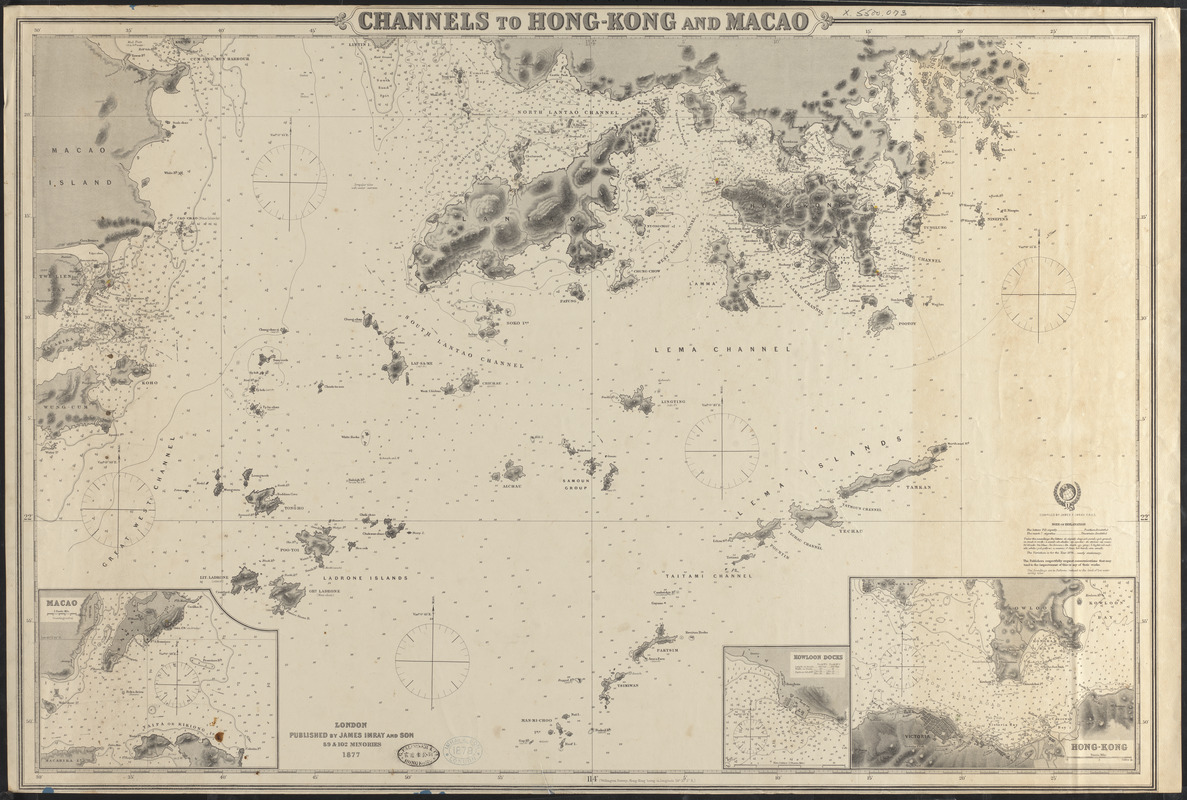
Channels to Hong Kong and Macao
1877
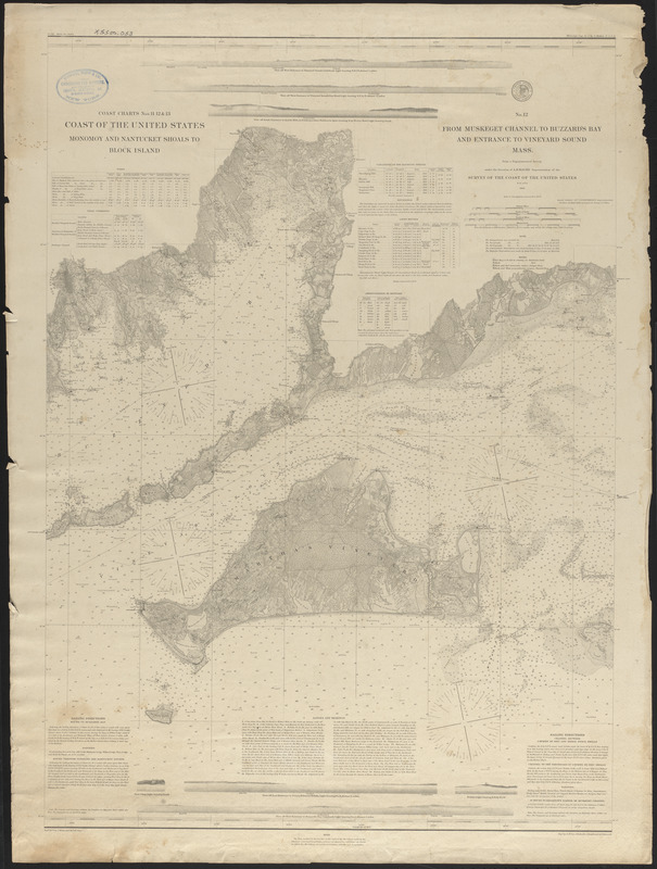
From Muskeget Channel to Buzzard’s Bay and entrance to Vineyard Sound, Mass.
1879
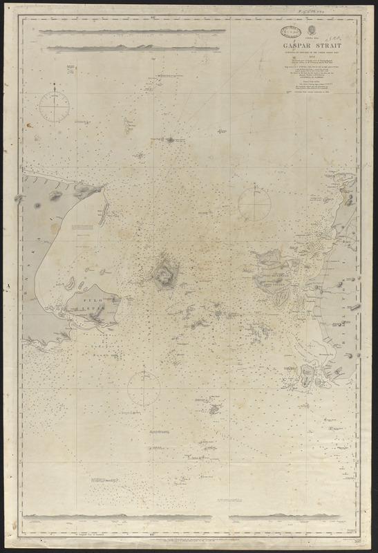
Gaspar Strait
March 9, 1861
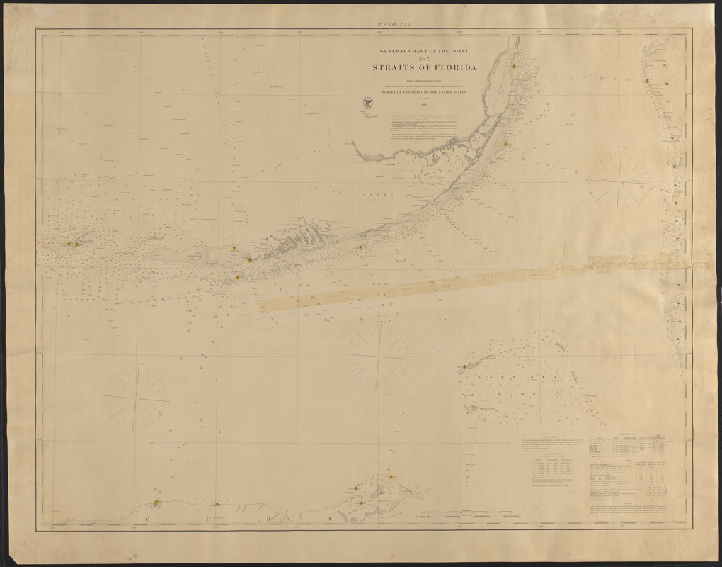
General chart of the coast, Straits of Florida
1868
Bays
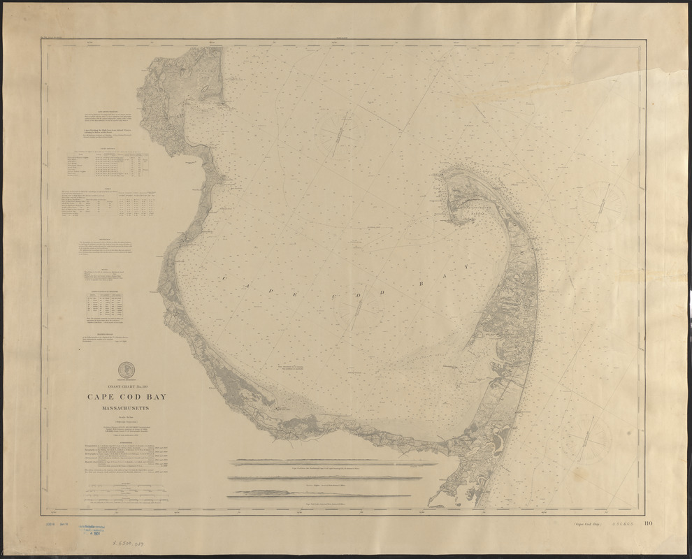
Cape Cod Bay, Massachusetts
1892
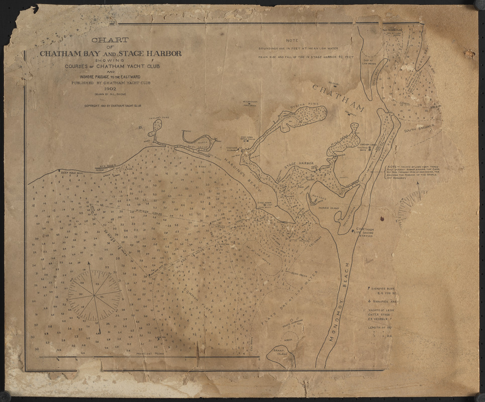
Chart of Chatham Bay and Stage Harbor
1902
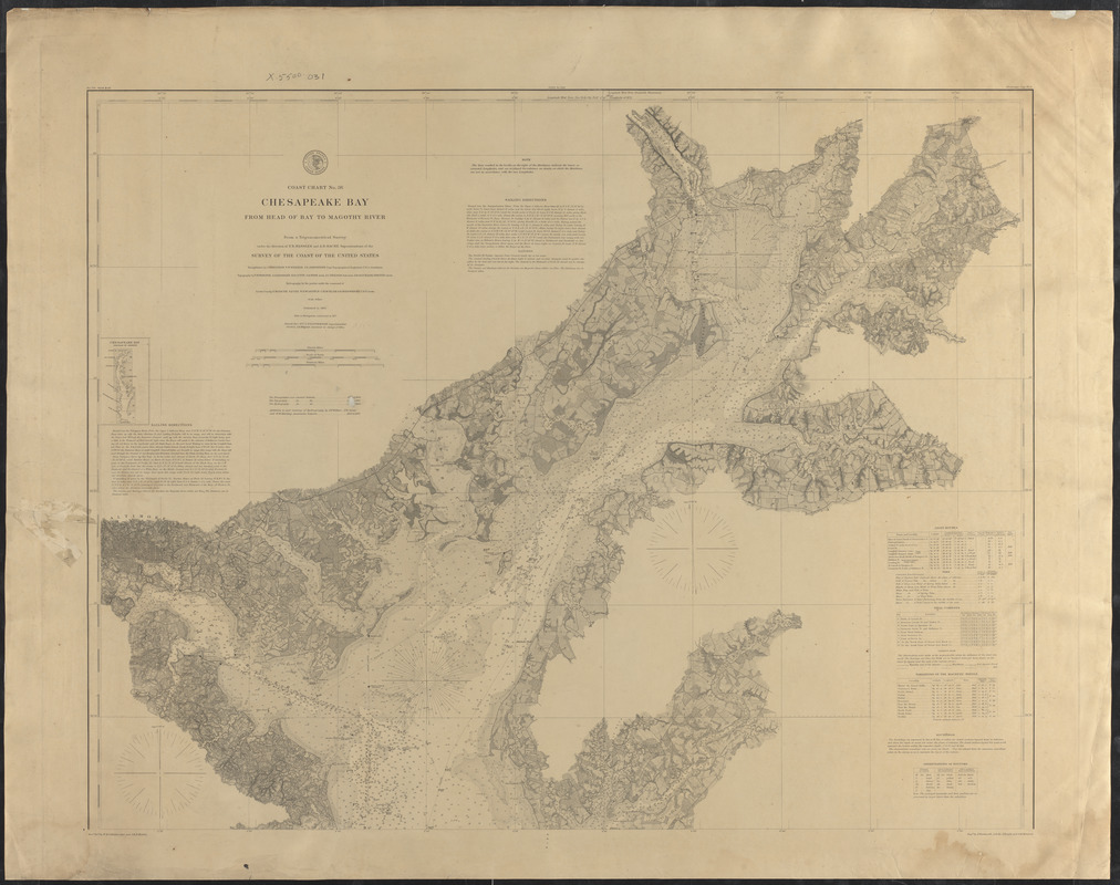
Chesapeake Bay from head of bay to Magothy River
June 1877
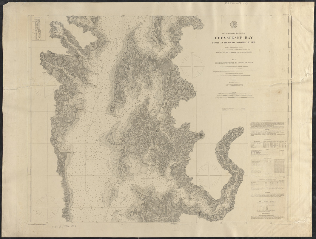
Chesapeake Bay from Magothy River to Choptank River
June 1877
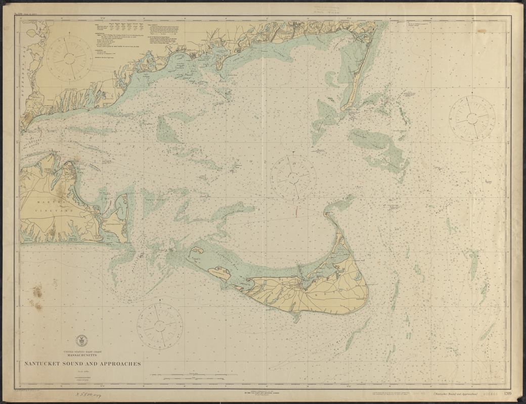
Nantucket Sound and Approaches
December 1919
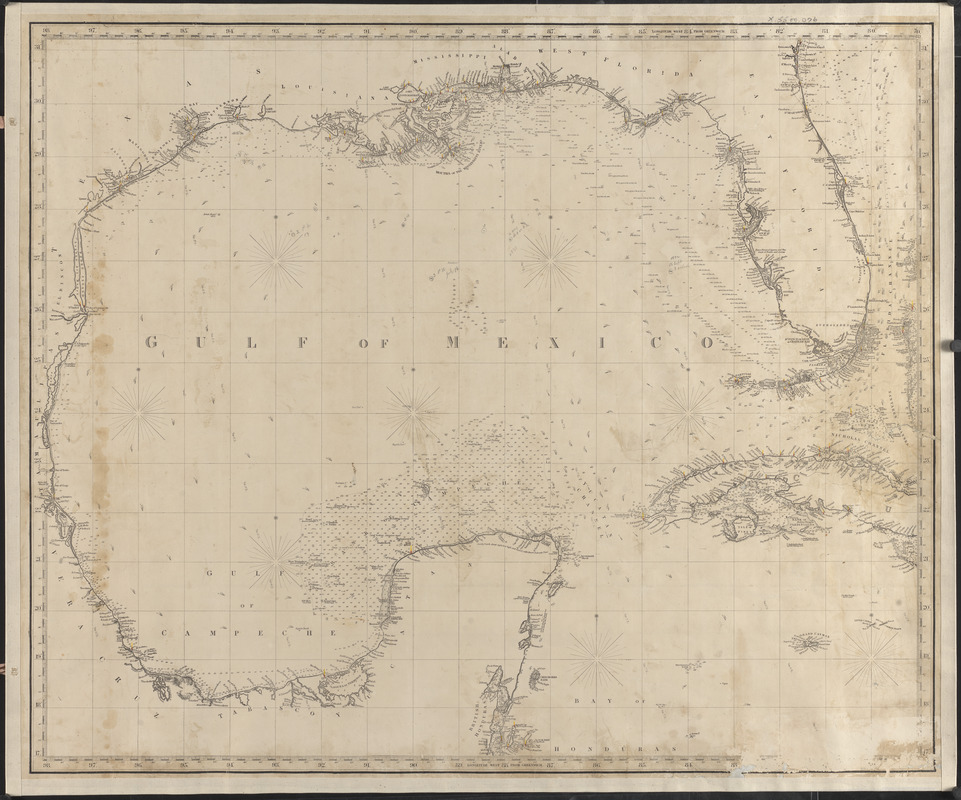
Gulf of Mexico
June 1872
Oceans
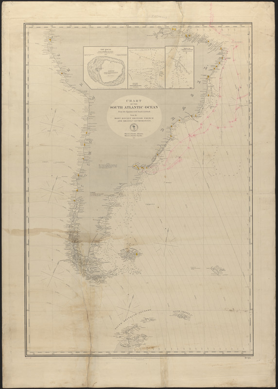
Chart of the South Atlantic Ocean from the equator to 65 south latitude, from the most recent British, French, and Brazilian authorities
July 8, 1868
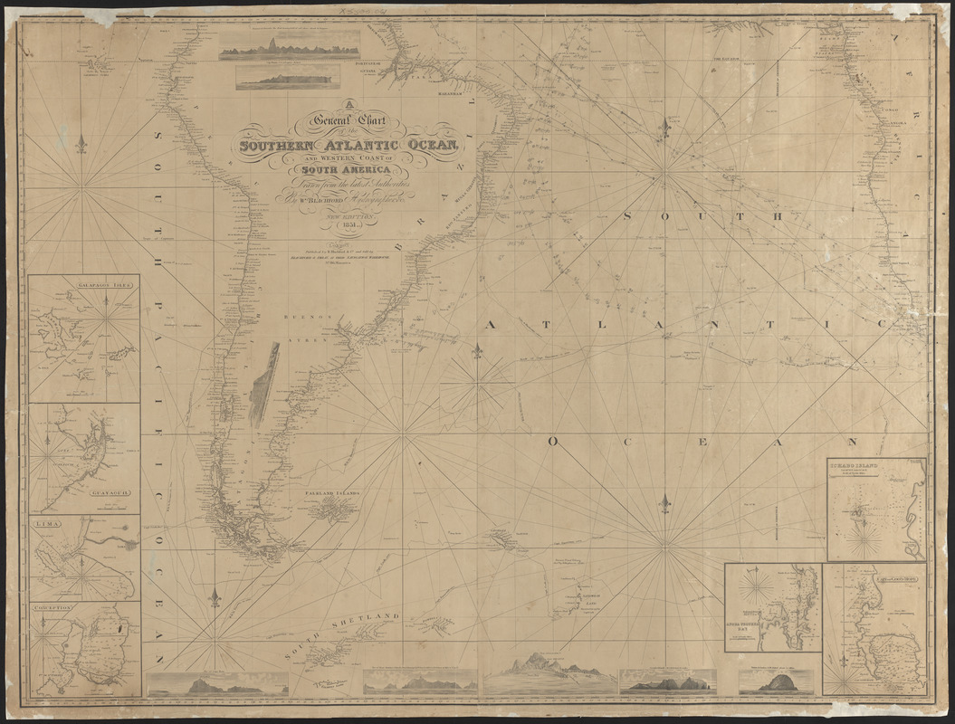
A general chart of the southern Atlantic Ocean and western coast of South America
1851
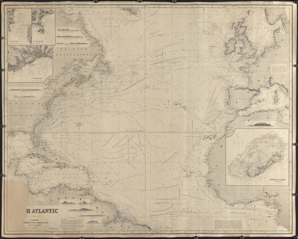
North Atlantic
1880
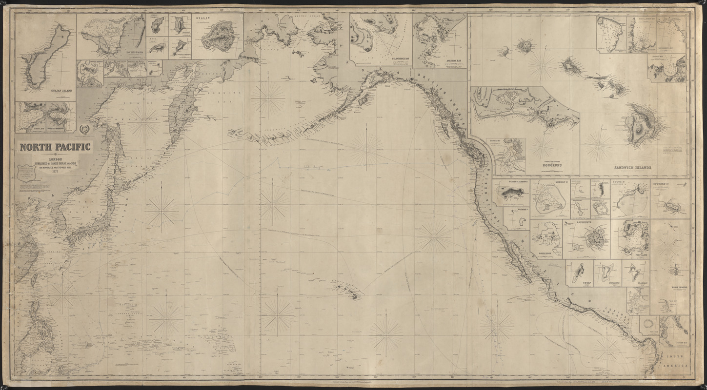
North Pacific
1872
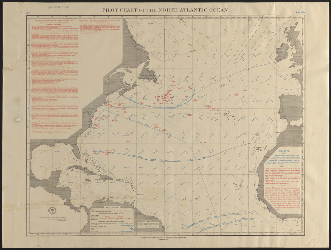
Pilot chart of the North Atlantic Ocean
May 1884
Islands
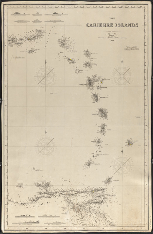
The Caribbee Islands
1856
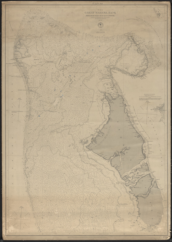
The Great Bahama Bank
1872
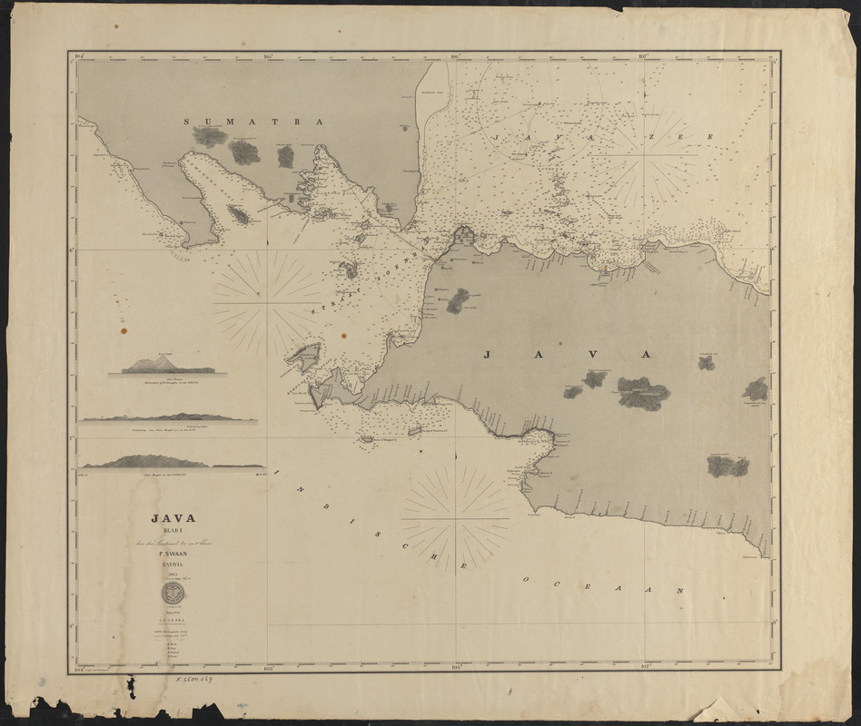
Java, blad I
1865
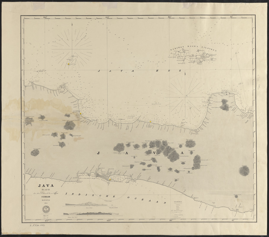
Java, blad II
1865
Nantucket Sound and approaches
December 1919
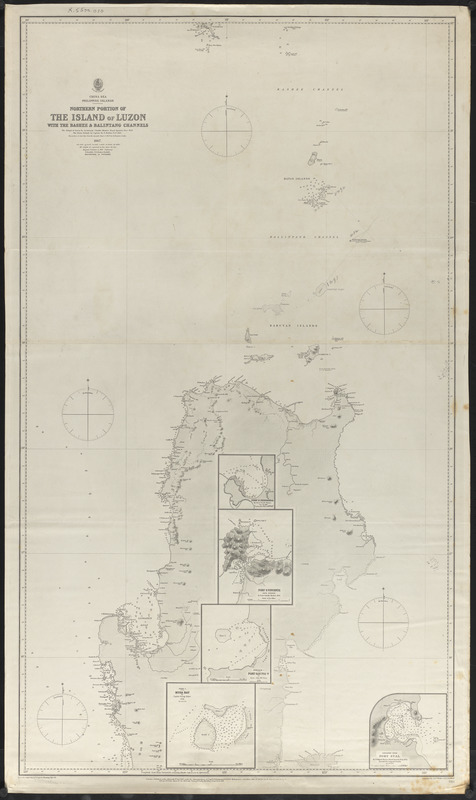
Northern portion of the island of Luzon with the Bashee & Balintang Channels
April 1, 1867

